Learning material will be implemented within Forestry MSc Programme (2 ECTS) offered by University of West Hungary as an individual test course.
Learning contents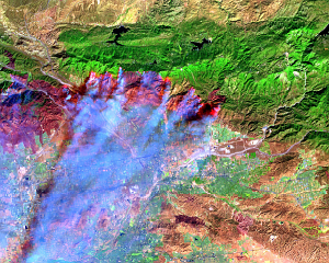
- Forestry GIS database
- Forest Mapping & data collection
- LIDAR based timber volume estimation
- Climate change
- Multiobjective forest management
- Forest Fire Risk mapping
- Forest Fire Monitoring
- Forest Fire Simulation
Learning outcomes
After completion of the course the students will be familiar with GIS applications in Forestry and they will be able to:
- Prepare thematic maps for decision makers
- Develop a critical awareness of forest management from a multidisciplinary perspective
- Use complex tools and methods serving at the real world fire cases
- Be able to conduct geospatial analysis and simulation of forest fire events
The outcomes of this procedure are not only student related, but are also expected to benefit the rest of the actors involved from
the academic and private field.
Reference partners
- Nyugat-Magyaroszági Egyetem (Hungary)
- Epsilon International SA (Greece)